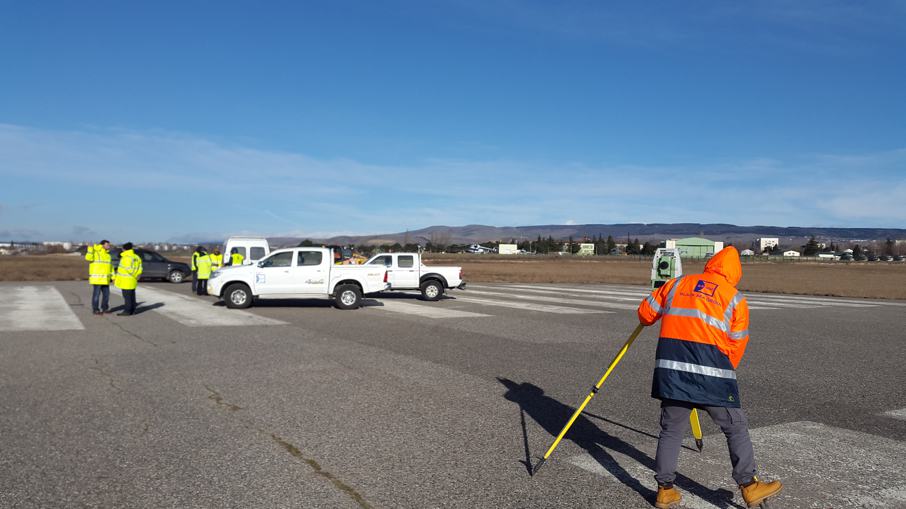
Protim Group Survey
Protim Group Map, which started its operations in Istanbul in 1994, carries out engineering services for public and private companies serving the public.
Project design of infrastructure constructions as a field of activity, Current Map production, Bathymetry (Sea Measurements) Maps, Expropriation Projects, 18. It has determined business lines such as Material Applications and Building Survey Measurements as its fields of activity.
It has taken its place in the construction sector in order to evaluate the experience and knowledge gained in the business lines of Geomatics Engineering in URBAN TRANSFORMATION Projects and to gain a new perspective. With all its technological infrastructure, knowledge and customer satisfaction-oriented principles, it has successfully completed the projects it has undertaken in the sector.
Protim Group Map continues its activities in the sector with determination without compromising its principles.
Protim Group Survey Services
- Current Map Production
- Cadastral Maps
- Topographic Maps
- Bathymetric Maps
- Special Purpose Maps
- Mine Underground, Surface Maps
- Road, Infrastructure and Pipeline Projects
- Road Plan, Profile, Section, Cubaj Projects
- Wastewater End of Work (Final Progress Payment) Projects
- Rainwater End of Work (Final Progress Payment) Projects
- Drinking Water End of Work (Final Progress Payment) Projects
- Expropriation Plans
- Stream Reclamation Expropriation Plans
- Rail System Expropriation Plans
- Highway Expropriation Plans
- Energy Transmission Line Expropriation Plans
- Expropriation Plans for Fiber, Cabling, etc.
- Digitization of Graphic Layouts
- Zoning Plan Sheets
- Existing Map Sheets
- Cadastral Map Sheets
- Digitization of Infrastructure Maps
- Satellite and Drone Maps
- Article 18 Applications
- 3D Building Survey Measurements


